Detection of Water Abundance in Baluran National Park with Landsat Satellite Imagery Analysis

Downloads
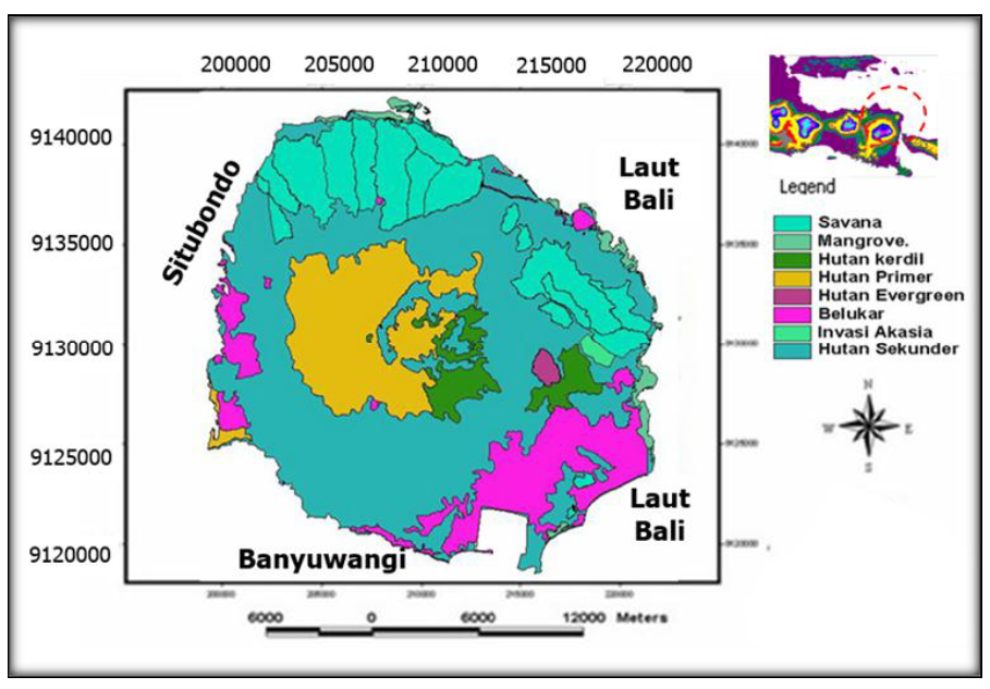
Indonesia is one of the mega-biodiversity countries that have a great responsibility in maintaining the balance of the global climate and forest ecosystems. Drought causes shifting of ecosystems causing disturbances on animal life leading to death of species. Alongside fires in the savanna, drought is a recurrent problem in the park, which occurs every year. This study aims to detect the abundance of water by using satellite imagery in Baluran National Park (BNP). The research analyzed using Landsat satellite imagery ETM7 + in 1999 and 2010 and three (3) main factors that have great potential abundance of water, are: (1) plant density (GI = Greenness Index), (2) soil moisture (WI = Wetness Index), and (3) soil conditions (SBI = Soil Brightness Index). Three factors are summed and divided by three to get 5 levels of water abundance: 1) Very abundant, 2) Abundant, 3) Medium, 4) Few, and 5) Very little. The results showed that the abundance of water decreased between 1999 and 2010 for moderate conditions from 85% to 38%, if the abundance of low water (slightly) increased from 15% to 60%. The level of accuracy of the abundance of water in the field of more than 80% is exactly 91%. The extreme drought conditions will be very dangerous for the survival of flora and fauna in Baluran National Park that are in desperate need of water and potentially in danger of a fire. Construction of water reservoirs and water supply continuously using a water tank in the dry season is very necessary in the Baluran National Park.


