Tsunami Vulnerability Study in Ngambur and Bengkunat Districts, West Coast of Lampung Using COMCOT
Main Article Content
Abstract
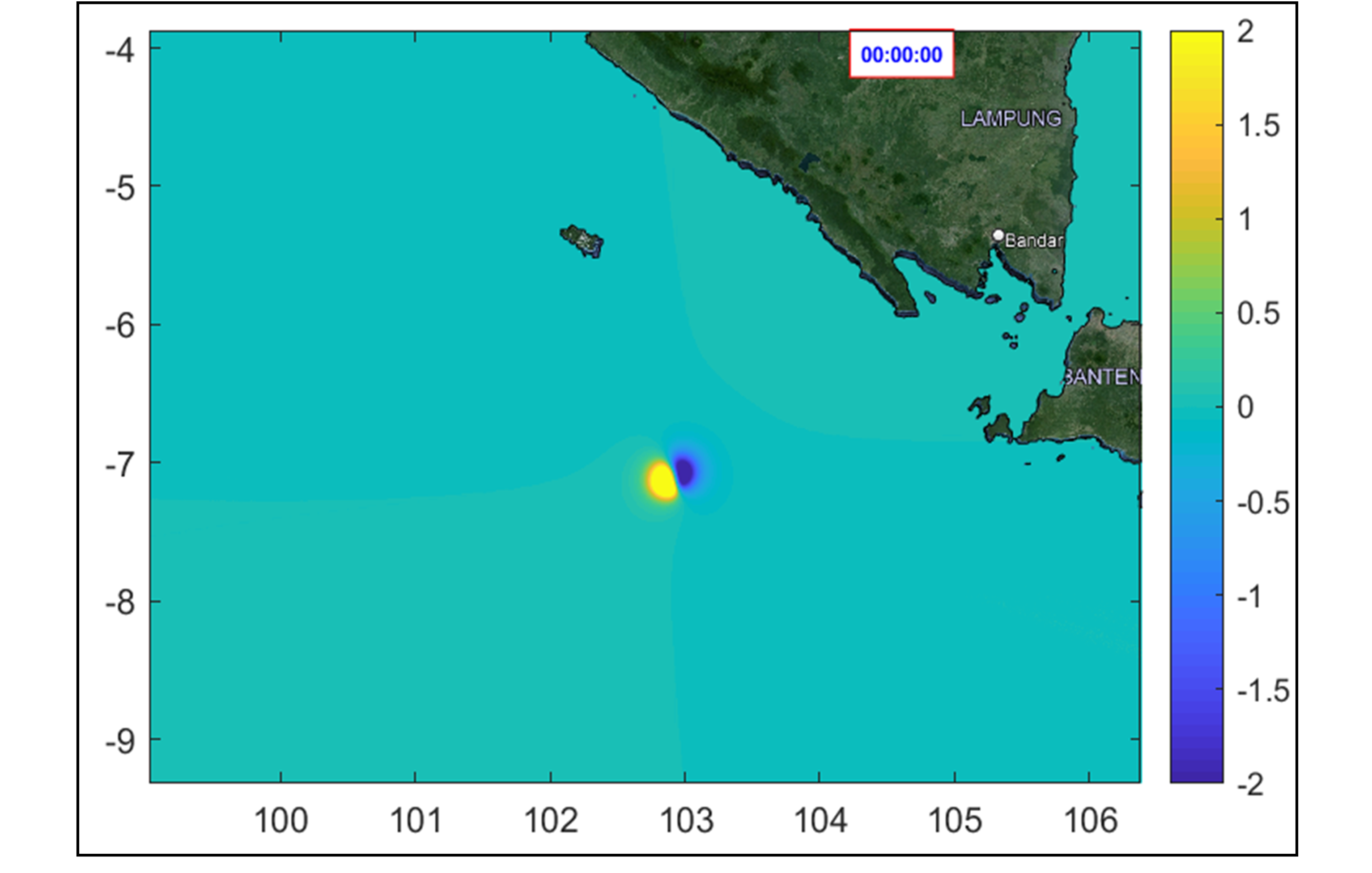
Bengkunat and Ngambur districts are located in West Pesisir Regency, Lampung Province, these are located on the southern coast of the island of Sumatra. Tsunami disasters can occur at any time if there is a generator such as a seafloor earthquake and cannot be predicted when it will occur and will be destructive or not. This research is modeling wave propagation using COMCOT program to determine tsunami wave propagation, run-up, arrival time and inundation. The magnitude scenarios used are 6.5, 7.5 and 8.5. Tsunami waves in Bengkunat and Ngambur districts showed destructive tsunami potential in each scenario. Wave height, wave inundation area and wave arrival time vary due to differences in magnitude as well as the geographical conditions of the coast and its bathymetry. The higher the magnitude, the higher the wave height and the faster the arrival time. Pagar Bukit, Suka Negara, Muara Tembulih and Sumber Agung are villages with significant damage because the wave height is above 8 m with arrival times ranging from 29-34 minutes. While Padang Dalam, Gedung Cahaya Kuningan and Parda Suka, the wave height is between 2-6 meters with a time ranging from 35-39 minutes, Inundation at magnitude 6.5 only hits the coastal area only as far as 220 meters, but at magnitude 7.5 inundation reaches about 2.4 kilometers while at magnitude 8.5 inundation reaches 3.4 kilometers.
Downloads
Article Details

This work is licensed under a Creative Commons Attribution 4.0 International License.
Allow anyone to modify, improve, and make derivative works, even for commercial purposes, as long as they credit to you for the original work.
References
G. Ayunda, A. Ismanto, H. Hariyadi, D. N. Sugianto, and M. Helmi, “Analisis Penjalaran Run-Up Gelombang Tsunami Menggunakan Pemodelan Numerik 2D di Pesisir Kota Bengkulu,” Indonesian Journal of Oceanography, vol. 2, no. 3, pp. 253–260, Oct. 2020, doi: 10.14710/IJOCE.V2I3.8572.
H. Th. Verstappen, “Indonesian Landforms and Plate Tectonics,” Indonesian Journal on Geoscience, vol. 5, no. 3, pp. 197–207, Sep. 2010, doi: 10.17014/IJOG.5.3.197-207.
Radianta. Triatmadja, “Tsunami : kejadian, penjalaran, daya rusak, dan mitigasinya,” p. 207, 2011.
E. Pradjoko, A. Setiawan, L. Wardani, and Hartana, “The impact of mandalika tourism area development on the Kuta village, centre Lombok, Indonesia based on tsunami hazard analysis point of view,” IOP Conf Ser Earth Environ Sci, vol. 708, no. 1, p. 012010, Apr. 2021, doi: 10.1088/1755-1315/708/1/012010.
F. Kurniawan, S. Widodo, and L. Halengkara, “PEMODELAN TSUNAMI DAN ALTERNATIF JALUR EVAKUASI BERBASIS SIG DI KECAMATAN KRUI SELATAN TAHUN 2019,” Jurnal Penelitian Geografi, vol. 10, no. 1, pp. 43–52, Mar. 2022, Accessed: Oct. 17, 2024. [Online]. Available: https://jurnal.fkip.unila.ac.id/index.php/JPG/article/viewFile/20567/15212
Q. Zahro, “SPATIAL STUDY OF TSUNAMI RISK IN SERANG, BANTEN KAJIAN SPASIAL RISIKO BENCANA TSUNAMI KABUPATEN SERANG, BANTEN,” Jurnal Sains dan Teknologi Mitigasi Bencana, vol. 12, no. 1, 2017.
T. Mikami, T. Shibayama, M. Esteban, and R. Aránguiz, “Comparative Analysis of Triggers for Evacuation during Recent Tsunami Events,” Nat Hazards Rev, vol. 21, no. 3, p. 04020022, Apr. 2020, doi: 10.1061/(ASCE)NH.1527-6996.0000386.
Benazir, “PENGEMBANGAN METODE SIMULASI RUN-UP TSUNAMI DAN APLIKASINYA PADA BEBERAPA KASUS TSUNAMI DI INDONESIA,” Dissertation, Universitas Gadjah Mada, 2018. Accessed: Oct. 17, 2024. [Online]. Available: https://etd.repository.ugm.ac.id/penelitian/detail/161955
Z. Qonita, S. Karima, A. Rusdiansyah, and R. Riyandari, “NUMERICAL MODELING OF THE 1998 PAPUA NEW GUINEA TSUNAMI USING THE COMCOT,” BAREKENG: Jurnal Ilmu Matematika dan Terapan, vol. 18, no. 1, pp. 0349–0360, Mar. 2024, doi: 10.30598/BAREKENGVOL18ISS1PP0349-0360.
D. Pratiwi and D. A. Fitri, “Analisis Potensial Penjalaran Gelombang Tsunami di Pesisir Barat Lampung, Indonesia,” Jurnal Teknik Sipil Institut Teknologi Padang, vol. 8, no. 1, pp. 5–5, Jan. 2021, doi: 10.21063/JTS.2021.V801.05.
J. G. Hills and C. L. Mader, “Tsunami Produced by the Impacts of Small Asteroids,” Ann N Y Acad Sci, vol. 822, no. 1, pp. 381–394, May 1997, doi: 10.1111/J.1749-6632.1997.TB48352.X.
X. Wang, USER MANUAL FOR COMCOT VERSION 1.7 (FIRST DRAFT). 2009.

